VisuAnalyze can be used with many types of data stored in HDF format. Support for these other data sets is continually expanding. To learn specifics, contact RPS at: For pricing and ordering information, contact us at: visuanalyze@rpsc.com
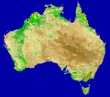
Normalized Differential Vegetation Index (NDVI) data is obtained from the
Advanced Very High Resolution Radiometer (AVHRR) sensor flown on NOAA's polar orbiting weather satellites. It provides a global picture of the types
of vegetation covering Earth's surface.
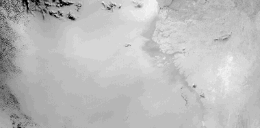
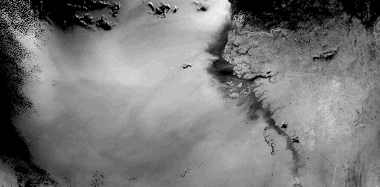
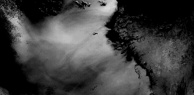
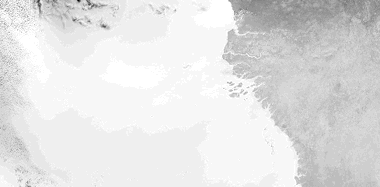
Coastal Zone Color Scanner (CZCS) images provide information about the amount of phytoplankton
growing in the oceans. Since they form the base of the marine food chain, phytoplankton are an excellent measure of the
productivity of the sea. Each of these images is from a monocrhomatic band of the CZCS sensor, during processing
an algorithm is applied that calculates the amount of chlorophyll present in the water.
Both VisuAnalyze and VisuAnalyze Lite 2.0 are available from Research & Professional Services for PC and Macintosh. Inquiries for custom implementations and availability of the UNIX version are welcome.
email: visuanalyze@rpsc.com
Back to VisuAnalyze & VisuAnalyze Lite